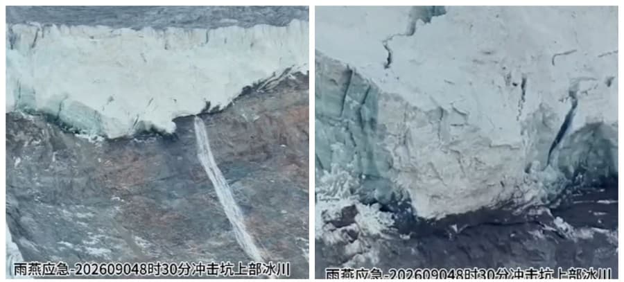
China's Ministry of Water Resources has informed the Nepali authorities about the latest situation while the danger of disaster remains in the Nepal-China border area. According to the ministry's latest assessment, the gap in the front of the glacier in the upper reaches of the Kuojian River has widened. With this, it is said that the risk of the glacier collapsing has increased.
China's Ministry of Water Resources has said that it has been continuously studying and assessing the potential risk of disaster in the Garong Zhangbo River area with the aim of strengthening disaster management cooperation in the China-Nepal border region.
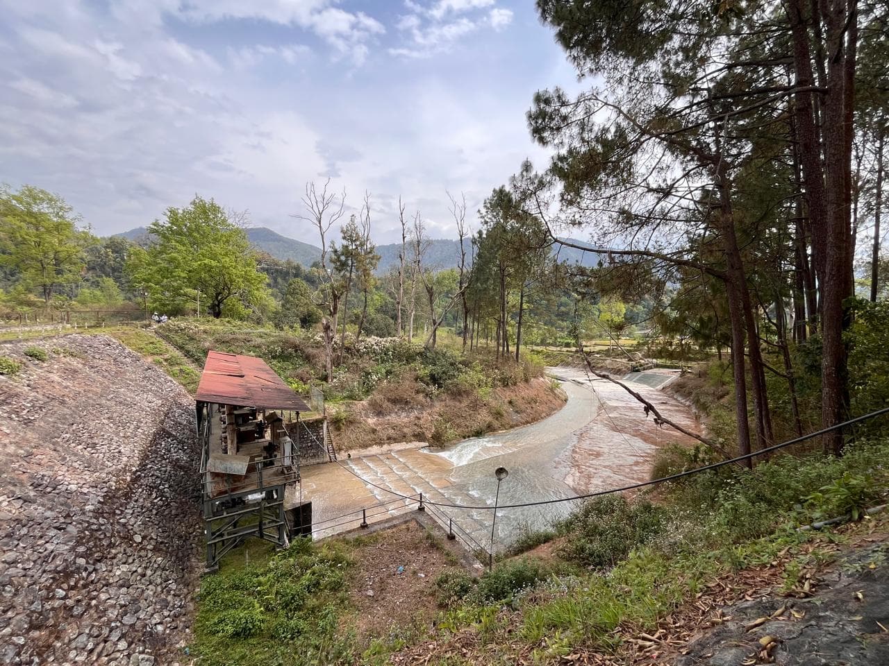
According to information given on the situation up to 9:20 a.m. on September 4, river water is flowing normally in the upper and lower parts of East Purenpukiang Jangbo Dam Lake.
Similarly, the Chinese side said that there is mainly a mixture of soil and water in the area of influence of the Kuojian River, and the water is flowing normally in its lower part and in the area where the water comes out. But the risk of further collapse has increased as the crevasses in the front of the glacier in the upper reaches of the river have widened.
Landslides can form new lakes
China's Ministry of Water Resources said the small landslide piles in the lower area of the former Purenpuqiang Zhangbo Dam lake did not greatly affect the current river flow.
The report mentions that even though the water of the river is flowing, there are clear signs of landslides and debris flows on the mountain slopes on both sides of the river.
According to China's Ministry of Water Resources, there is a risk that if the landslides collapse further, the flow of the river will be blocked and a new dam lake will form.
14 A glacial lake is relatively stable
A preliminary study in the Garong Zangbo River area has identified 14 glacial lakes. The surface area of that lake is from 0.1048 to 0.5560 square kilometers.
According to the Chinese side, the 14 lakes are generally relatively stable.
Chance of rain for three days
According to China's Ministry of Water Resources, there is a possibility of light to moderate rain around Garong Port from September 4th to 6th. It is estimated that 10 to 30 mm of rain may fall during that period.
It is estimated that the water level in the Garong Zangbo River may rise in two stages due to the rain and the flow of river water in the Garong Port area may reach about 150 to 200 cubic meters per second.
According to the measurement at 12 noon on September 4, the water level at the Garong water measuring station in Garong Zangbo was 2,959.37 meters and the water flow was 80.2 cubic meters per second.
Similarly, at the Guoba water measuring station in Donglin Zhangbo, the water level was measured at 2,923.21 meters and the water flow was measured at 45.2 cubic meters per second. The report states that the water level in the emergency measurement area seven kilometers above the Garong Zangbo port is 2,138 meters and the water flow is 54.3 cubic meters per second.
The latest assessment by China's Ministry of Water Resources points out that the glacier's crevice has widened, there is a risk of further collapse, and the possibility of forming a new dam lake if the landslides occur further. Therefore, it is necessary to pay attention to the information and warnings issued by the relevant agencies for the citizens who are in potentially dangerous areas around the Bhotekoshi River on the Nepal side.